Betio is the largest township of Kiribati's capital city, South Tarawa, and the country's main port. The settlement is located on a separate islet at the extreme southwest of the atoll.
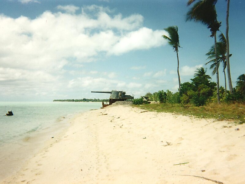
Betio Post Office opened on 5 April 1957 and closed in 1964. In 1967, the Marine Training Centre was created by Hamburg Süd. John Hilary Smith, governor of the Gilbert and Ellice Islands created the Betio Town Council in 1972. Since the 1970s, the islet has become a major centre of economic activity in Kiribati, and a causeway to Bairiki was constructed in the early 1980s, leading to an increase in human contact with the island. Due to changing currents resulting from the construction of the causeway, Bikeman Island, northeast of Betio, has been submerged since the early 1990s.
Wikipedia https://en.wikipedia.org/wiki/Betio
Coordinates 1°21'24.674" N 172°55'56.701" E