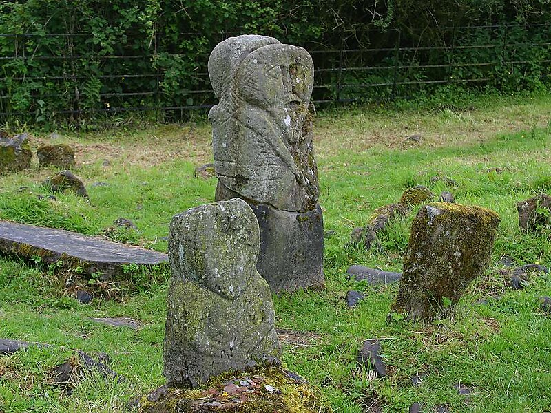
Boa Island is an island near the north shore of Lower Lough Erne in County Fermanagh, Northern Ireland. It is 25 km from Enniskillen town.It is the largest island in Lough Erne, approximately 8 km long, and relatively narrow. The A47 road goes through the length of the island. This road joins each end of the island to the mainland by bridges leading west toward Castle Caldwell and east toward Kesh.Boa Island features a counterscarp rath as well as carved stones, graveyard and enclosure, all in Dreenan townland and all Scheduled Historic Monuments. The Lustymore stone figure was moved here in 1939 from the nearby island of that name. The oldest stone monument on the island is a denuded cairn at Inishkeeragh Bridge near the southern tip of the island.
Download Download See moreWikipedia https://en.wikipedia.org/wiki/Boa_Island
Coordinates 54°30'58.944" N -7°50'1.843" E