Bradda Head
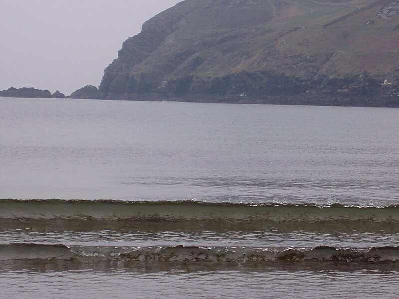
Bradda Head is a rugged headland in the south-west of the Isle of Man, in the British Isles, rising to a height of 382 feet.
cape

Riverside Hotel

Bradda Head
2h

Corner Café
45 min
Riverside Hotel
Add Bradda Head to Your Trip
Create a detailed travel itinerary with smart routing, time estimates, and everything you need for a perfect trip.
3M+ downloads · 4.6 stars · 15 years of trip planning


More Information and Contact
Wikipedia en.wikipedia.org/wiki/Bradda_Head
Coordinates 54°5'40.08" N, 4°46'19.467" W
Riverside Hotel
Bradda Head
2h
Corner Café
45 min
Riverside Hotel
Add Bradda Head to Your Trip
Create a detailed travel itinerary with smart routing, time estimates, and everything you need for a perfect trip.
3M+ downloads · 4.6 stars · 15 years of trip planning