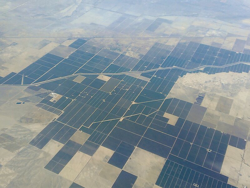
The Governor Edmund G. Brown California Aqueduct is a system of canals, tunnels, and pipelines that conveys water collected from the Sierra Nevada Mountains and valleys of Northern and Central California to Southern California. Named after California Governor Edmund Gerald "Pat" Brown Sr., the over 400-mile aqueduct is the principal feature of the California State Water Project.
The aqueduct begins at the Clifton Court Forebay at the southwestern corner of the Sacramento–San Joaquin River Delta. The aqueduct then heads south, eventually splitting into three branches: the Coastal Branch, ending at Lake Cachuma in Santa Barbara County; the West Branch, conveying water to Castaic Lake in Los Angeles County; and the East Branch, connecting Silverwood Lake in San Bernardino County.
Wikipedia https://en.wikipedia.org/wiki/California_Aqueduct
Address 48007 210th St W, 93536, United States
Coordinates 34°44'55.519" N -118°30'7.581" E