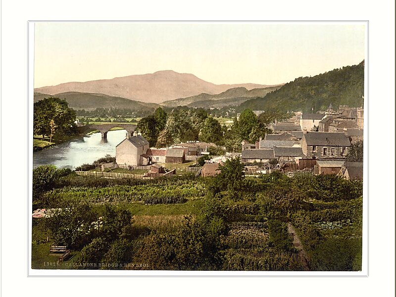
Callander is a small town in the council area of Stirling, Scotland, situated on the River Teith. The town is located in the historic county of Perthshire and is a popular tourist stop to and from the Highlands.
The town serves as the eastern gateway to the Loch Lomond and the Trossachs National Park, the first National Park in Scotland, and is often referred to as the "Gateway to the Highlands".Dominating the town to the north are the Callander Crags, a visible part of the Highland Boundary Fault, rising to 343 metres at the cairn.Ben Ledi lies north-west of Callander. Popular local walks include Bracklinn Falls, The Meadows, Callander Crags and the Wood Walks. The Rob Roy Way passes through Callander. The town sits on the Trossachs Bird of Prey Trail. The River Teith is formed from the confluence of two smaller rivers, the Garbh Uisge and Eas Gobhain about 1⁄3 mile west of the bridge at Callander.
Wikipedia https://en.wikipedia.org/wiki/Callander
Coordinates 56°14'37.299" N -4°12'53.292" E