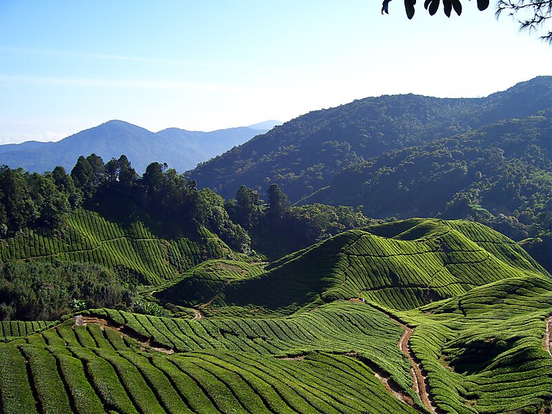
The Cameron Highlands is a district in Pahang, Malaysia, occupying an area of 712.18 square kilometres. To the north, its boundary touches that of Kelantan; to the west, it shares part of its border with Perak. Situated at the northwestern tip of Pahang, Cameron Highlands is approximately 90 kilometres east from Ipoh, roughly 200 kilometres north from Kuala Lumpur or about 355 kilometres from Kuantan, the capital of Pahang. It is the smallest municipality in the state.
Surveyed by the government geologist and explorer William Cameron in 1885, the outpost consists of three mukims, namely Ringlet, Tanah Rata and Ulu Telom. Its eight settlements are Ringlet, Tanah Rata, Brinchang, the Bertam Valley, Kea Farm, Tringkap, Kampung Kuala Terla, Kampung Raja and Blue Valley.
Wikipedia https://en.wikipedia.org/wiki/Cameron_Highlands
Coordinates 4°28'14.495" N 101°22'39.681" E