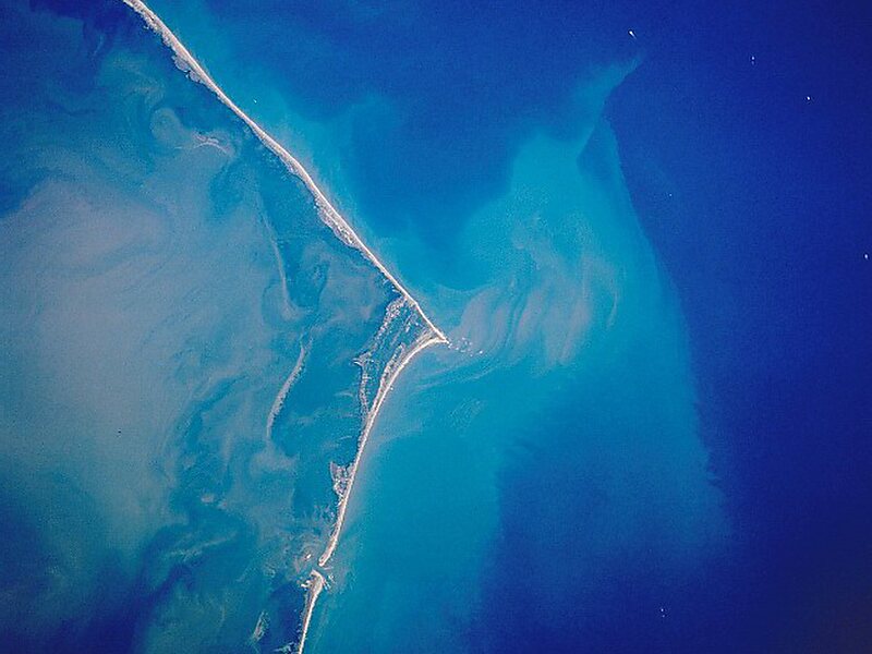
Cape Hatteras is a cape located at a pronounced bend in Hatteras Island, one of the barrier islands of North Carolina.
Long stretches of beach, sand dunes, marshes, and maritime forests create a unique environment where wind and waves shape the topography. A large area of the Outer Banks is part of a National Park, called the Cape Hatteras National Seashore. It is also the nearest landmass on the North American mainland to Bermuda, which is about 563 nautical miles to the east-southeast.
The treacherous waters off the coast of the Outer Banks are known as the Graveyard of the Atlantic, Over 600 ships wrecked here as victims of shallow shoals, storms, and war. Diamond Shoals, a bank of shifting sand ridges hidden beneath the turbulent sea off Cape Hatteras, has never promised safe passage for ships.

Wikipedia https://en.wikipedia.org/wiki/Cape_Hatteras
Address 27920, United States
Coordinates 35°13'30.743" N -75°31'40.492" E