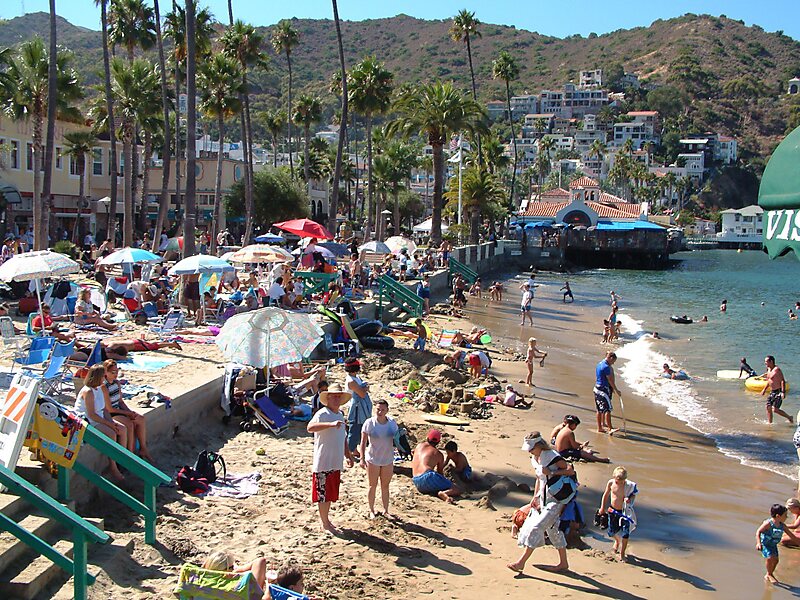
Santa Catalina Island is a rocky island off the coast of Southern California in the Gulf of Santa Catalina. The island covers an area of about 75 square miles. It features a diverse and rugged landscape, including rolling hills, canyons, coastal cliffs, and sandy beaches. The island's highest peak is Mount Orizaba, rising to an elevation of 2,097 feet. The island is 22 mi long and 8 mi across at its largest width. The island is situated in the Pacific Ocean, approximately 29 mi south-southwest of Long Beach, California. Politically, Catalina Island is part of Los Angeles County in District 4. Most of the island's land is unincorporated and is thus governed by the county.
Catalina was originally inhabited and used by many different Southern California Tribes, including the Tongva, who called the island Pimuu'nga or Pimu and referred to themselves as Pimugnans or Pimuvit. The first Europeans to arrive on Catalina claimed it for the Spanish Empire.

Travelling to the island is relatively easy. You can travel by Catalina Express, Catalina Flyer from Newport Beach, Catalina Freight Line or Yacht Charters. Check the websites for departure times and also the shuttle service to terminals.
Wikipedia https://en.wikipedia.org/wiki/Santa_Catalina_Island_(California)
Official website http://www.catalinachamber.com/
Twitter https://twitter.com/catalinachamber
Address (Unnamed Road), 90704, United States
Coordinates 33°22'54.636" N -118°24'54.311" E