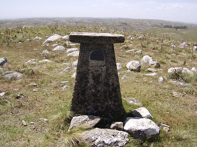
Cerro Catedral, also known as Cerro Cordillera, is a peak and the highest point of Uruguay, with an altitude of 513.66 m. It is located north of Maldonado Department, in the municipality of Aiguá, in a hill range named Sierra Carapé, which constitutes part of a larger range named Cuchilla Grande. Its name derived from the curious forms of the rocky elevations of its summit, which are very common in the southern part of this country.
Download Download See moreWikipedia https://en.wikipedia.org/wiki/Cerro_Catedral_(Uruguay)
Address Uruguay
Coordinates -34°22'58.349" N -54°40'26.801" E