Český Těšín is a town in the Karviná District in the Moravian-Silesian Region of the Czech Republic. It has about 23,000 inhabitants.
Český Těšín lies on the west bank of the Olza river, in the heart of the historical region of Cieszyn Silesia. Until the 1920 division of the region between Poland and Czechoslovakia it was just a western suburb of the town of Teschen, which after the division fell to Poland as Cieszyn. The combined population of the Czech and Polish parts of the town is around 57,000.
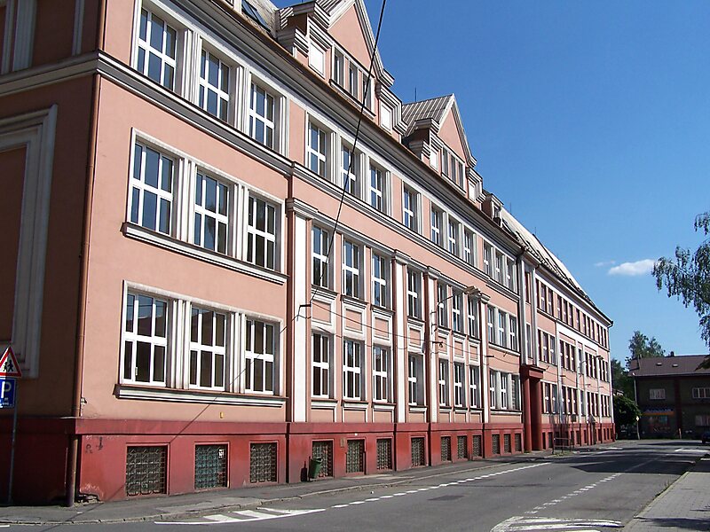
The historic centre in Český Těšín is well preserved and is protected by law as an urban monument zone.
Wikipedia https://en.wikipedia.org/wiki/Český_Těšín
Official Website http://www.tesin.cz/
Coordinates 49°44'47.046" N 18°37'33.951" E
