Chacaltaya
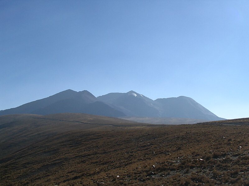
Chacaltaya is a mountain in the Cordillera Real, one of the mountain ranges of the Cordillera Oriental, itself a range of the Bolivian… Read more…


Add Chacaltaya to Your Trip
Create a detailed travel itinerary with smart routing, time estimates, and everything you need for a perfect trip.


Chacaltaya is a mountain in the Cordillera Real, one of the mountain ranges of the Cordillera Oriental, itself a range of the Bolivian Andes. Its elevation is 5,421 meters. Chacaltaya's glacier — which was as old as 18,000 years — had an area of 0.22 km2 in 1940, which had been reduced to 0.01 km2 in 2007 and was completely gone by 2009. Half of the meltdown, as measured by volume, took place before 1980. The final meltdown after 1980, due to missing precipitation and the warm phase of El Niño, resulted in the glacier's disappearance in 2009. The glacier was located about 30 kilometers from La Paz, near Huayna Potosí mountain.
Source: Wikipedia
More Information and Contact
Add Chacaltaya to Your Trip
Create a detailed travel itinerary with smart routing, time estimates, and everything you need for a perfect trip.