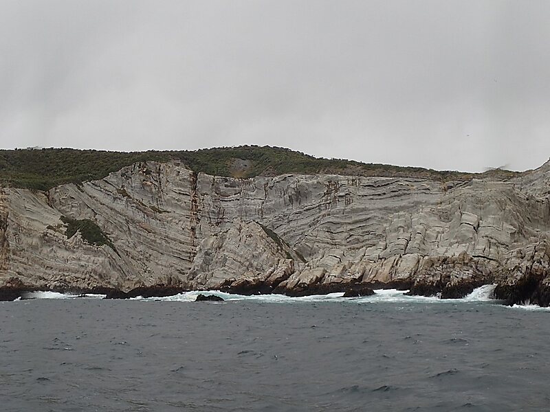
Chalky Island or Te Kākahu-o-Tamatea is an island in the southwest of New Zealand, and is part of Fiordland National Park. It lies at the entrance to Taiari / Chalky Inlet, next to Rakituma / Preservation Inlet, at the southwestern tip of the South Island, 10 kilometres northwest of Puysegur Point, 15 kilometres southeast of West Cape, and 140 kilometres west of Invercargill.
The island was known to Māori as te kākahu-o-Tamatea, as, according to oral tradition, it was the place where the explorer Tamatea spread his cloak out to dry after being drenched by the sea. It was first charted by Captain James Cook in 1773, and was a base for sealers in the late 18th and early 19th centuries.
Wikipedia https://en.wikipedia.org/wiki/Chalky_Island_(New_Zealand)
Coordinates -46°2'59.277" N 166°31'24.485" E