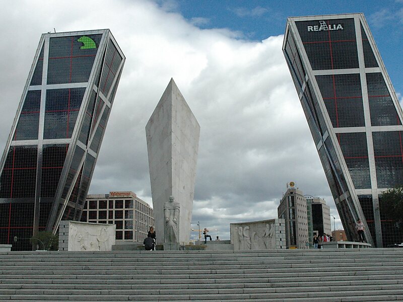
Chamartín is an administrative district of Madrid, Spain and consists of the following neighborhoods: El Viso, La Prosperidad, Ciudad Jardín, Hispanoamérica, Nueva España, and Castilla.
It was originally named Chamartín de la Rosa and remained an independent municipality until it was incorporated to Madrid in 1948.
Wikipedia https://en.wikipedia.org/wiki/Chamartín_(Madrid)
Coordinates 40°27'32.354" N -3°40'34.064" E