Châtelet station
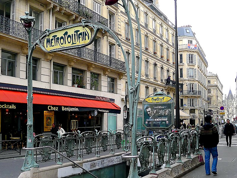
Châtelet station is a station of the Paris Métro and Île-de-France's RER commuter rail service, located in the centre of medieval Paris, on… Read more…


Add Châtelet station to Your Trip
Create a detailed travel itinerary with smart routing, time estimates, and everything you need for a perfect trip.


Châtelet station is a station of the Paris Métro and Île-de-France's RER commuter rail service, located in the centre of medieval Paris, on the border between the 1st and 4th arrondissements. It serves RER A, B and D, as well as lines 1, 4, 7, 11, and 14 of the Paris Métro; it is the southern terminus of Line 11. The station is made up of two parts connected by a long corridor: lines 7 and 11 under the Place du Châtelet and the Quai de Gesvre, next to the Seine; lines 1, 4 and 14 towards Rue Saint-Denis and the Rue de Rivoli.
Châtelet is connected by another long underground corridor to the southern end of the RER platforms at Châtelet–Les Halles, the northern end of which is again connected to the métro station Les Halles. The distance from Line 7 at Châtelet to the RER lines at Châtelet–Les Halles is approximately 750 metres. It is the ninth-busiest station on the métro system.
Source: Wikipedia
More Information and Contact
Add Châtelet station to Your Trip
Create a detailed travel itinerary with smart routing, time estimates, and everything you need for a perfect trip.