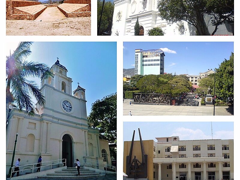
Chilpancingo de los Bravo is the capital and second-largest city of the state of Guerrero, Mexico. In 2010 it had a population of 187,251 people. The municipality has an area of 2,338.4 km2 in the south-central part of the state, situated in the Sierra Madre del Sur mountains, on the bank of the Huacapa River. The city is on Mexican Federal Highway 95 which connects Acapulco to Mexico City. It is served by Chilpancingo National Airport, which is one of the five airports in the state.
Download Download See moreWikipedia https://en.wikipedia.org/wiki/Chilpancingo
Coordinates 17°33'15.173" N -99°30'17.43" E