Cima Tosa
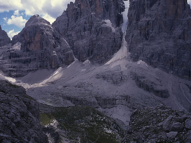
Cima Tosa is a mountain in the Brenta group, a subgroup of the Rhaetian Alps in the Italian Region of Trentino-Alto Adige, with a reported… Read more…


Add Cima Tosa to Your Trip
Create a detailed travel itinerary with smart routing, time estimates, and everything you need for a perfect trip.


Cima Tosa is a mountain in the Brenta group, a subgroup of the Rhaetian Alps in the Italian Region of Trentino-Alto Adige, with a reported height of 3,136 metres. it is the second highest peak of the Brenta group in the southern limestone Alps after the Cima Brenta.
The height of the summit marked on the IGM maps is 3,173 m, which would make it the highest peak in the Brenta Dolomites. An electronic measurement campaign in 2015 determined the new height. The change could be linked to the partial melting of the ice cap that covers it. Being the second highest peak of the Brenta group also changed Cima Tosa's prominence making its prominence 589 m above the Bocca di Brenta.
Source: Wikipedia
More Information and Contact
Add Cima Tosa to Your Trip
Create a detailed travel itinerary with smart routing, time estimates, and everything you need for a perfect trip.