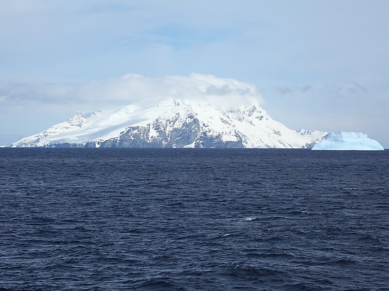
Clarence Island is the easternmost island in the South Shetland Islands, off the coast of Antarctica. It is claimed by Argentina as part of Argentine Antarctica, by Britain as part of the British Antarctic Territory, and by Chile as part of the Chilean Antarctic Territory. The name dates back to at least 1820 and is now established in international usage, except for Russia, where it has been known as Shishkova Island since its discovery by Russians in 1821.
The island is 21.46 km long and oriented in a south-southwest to north-northeast direction. Ravelin Ridge and Urda Ridge occupy the interior of the mountainous island. The summit Mount Irving, 1,950 meters high, rises 6.675 km north of Cape Bowles, the southernmost point.
Wikipedia https://en.wikipedia.org/wiki/Clarence_Island_(South_Shetland_Islands)
Coordinates -61°14'18.559" N -54°6'29.418" E