Clough Head is a fell, or hill, in the English Lake District. It marks the northern end of the main ridge of the Helvellyn range and is often walked as part of the ridge walk. The fell stands south of the village of Threlkeld and the A66 road, and it forms the steep eastern side of the tranquil valley of St John's in the Vale.
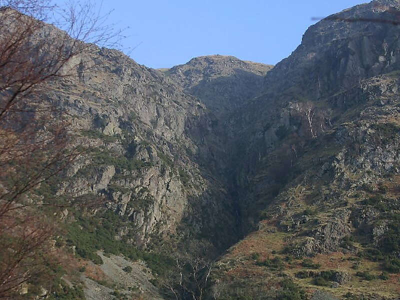
On its western side the fell displays a dark mass of rocky crags and a deep-set rocky ravine. On the other side it has smooth grassy slopes. Beneath the north face is the steep valley or clough from which Clough Head gets its name. Also beneath the steep northern face lies the lower hill of Threlkeld Knotts, a granite hill which has been much quarried round its margin.
Wikipedia https://en.wikipedia.org/wiki/Clough_Head
Coordinates 54°35'37.133" N -3°1'56.511" E