Coal Island is an island in Fiordland, in the southwest of New Zealand's South Island.
Its Māori name is Te Puka-Hereka Island, which translated means The Tied Anchor, but the island is commonly known as Coal Island.
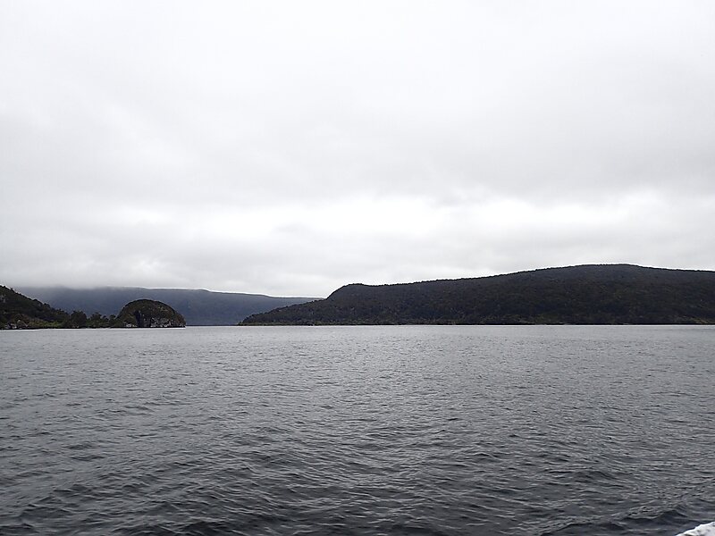
Situated at the southern end of Fiordland's west coast, Coal Island lies in the entrance to Rakituma / Preservation Inlet, between Puysegur Point and Gulches Head. This area contains the southernmost fiords of Fiordland, some 200 kilometres south of Milford Sound / Piopiotahi.
Wikipedia https://en.wikipedia.org/wiki/Coal_Island,_New_Zealand
Coordinates -46°6'57.914" N 166°37'41.723" E