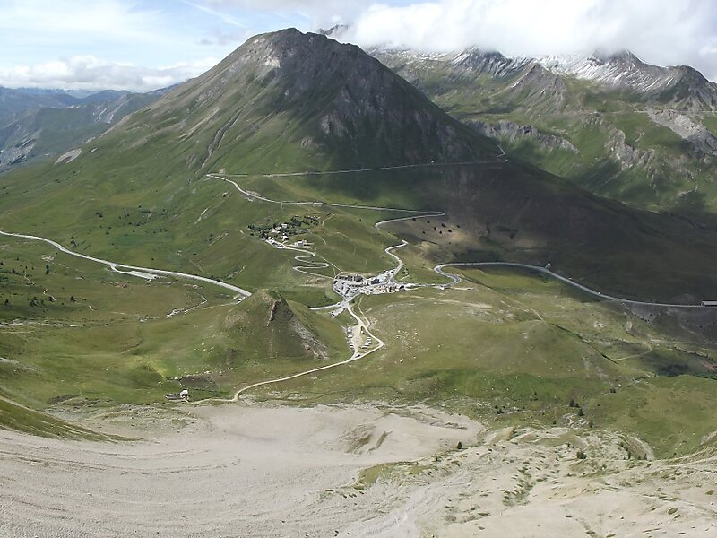
Col du Lautaret is a high mountain pass in the department of Hautes-Alpes in France.
It marks the boundary between the valleys of the Romanche and the Guisane, a tributary of the Durance which has its source at the col. The valleys are linked by national route 91. The Lautaret is one of the lowest points on the ridge line which separates the "north" and "south" geographic areas of the French Alps.
The Col has long been used as a communication route between Grenoble and Briançon, and as a step for reaching Italy across the Alps through the Col de Montgenèvre.
Wikipedia https://en.wikipedia.org/wiki/Col_du_Lautaret
Coordinates 45°2'6.833" N 6°24'18.391" E