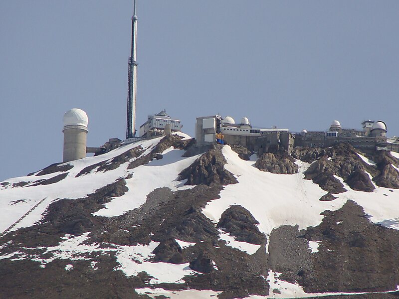
Col du Tourmalet is the highest paved mountain pass in the French Pyrenees, located in the department of Hautes-Pyrénées. Sainte-Marie-de-Campan is at the foot on the eastern side and the ski station La Mongie two-thirds of the way up. The village of Barèges lies on the western side, above the town of Luz-Saint-Sauveur.
Tourmalet is also a cheese made from sheep milk produced in these mountains.
Wikipedia https://en.wikipedia.org/wiki/Col_du_Tourmalet
Coordinates 42°54'30.231" N 0°8'42.993" E