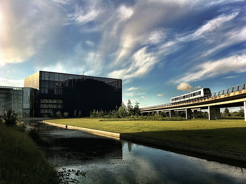
The Copenhagen Metro is a 24/7 rapid transit system in Copenhagen, Denmark, serving the municipalities of Copenhagen, Frederiksberg, and Tårnby.
The 20.4-kilometre system opened between 2002 and 2007, and has two lines, M1 and M2. The driverless light metro supplements the larger S-train rapid transit system, and is integrated with DSB local trains and Movia buses. Through the city center and west to Vanløse, M1 and M2 share a common line. To the southeast, the system serves Amager, with the 13.9-kilometre M1 running through the new neighborhood of Ørestad, and the 14.2-kilometre M2 serving the eastern neighborhoods and Copenhagen Airport. The metro has 22 stations, of which nine are underground. In 2016, the metro carried 61 million passengers.
Wikipedia https://en.wikipedia.org/wiki/Copenhagen_Metro
Coordinates 55°42'15.085" N 12°35'11.516" E