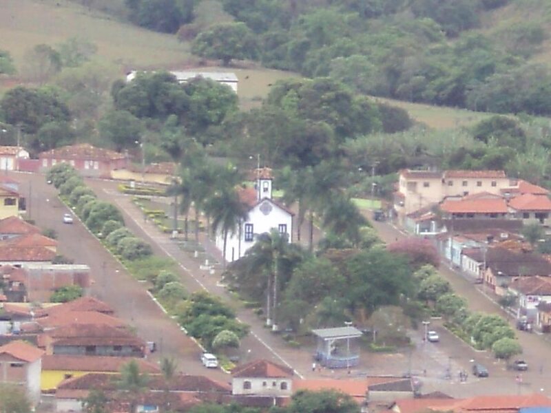
Couto de Magalhães de Minas is a Brazilian municipality located in the north-center of the state of Minas Gerais. Its population as of 2020 was 4,423 living in a total area of 484 km². The city belongs to the statistical mesoregion of Jequitinhonha and to the statistical microregion of Diamantina. It became a municipality in 1963.Couto de Magalhães de Minas is located at an elevation of 1155 meters in the upper Jequitinhonha River valley. It is northeast of Diamantina to which it is connected by federal highway BR-367
The distance to Diamantina is 39 km; and the distance to Belo Horizonte is 320 km. Neighboring municipalities are: Diamantina and ; Santo Antônio do Itambé; São Gonçalo do Rio Preto and Felisberto Caldeira.The main economic activities are services, agriculture, and small industries.
Wikipedia https://en.wikipedia.org/wiki/Couto_de_Magalhães_de_Minas
Coordinates -18°4'23.002" N -43°28'18.706" E