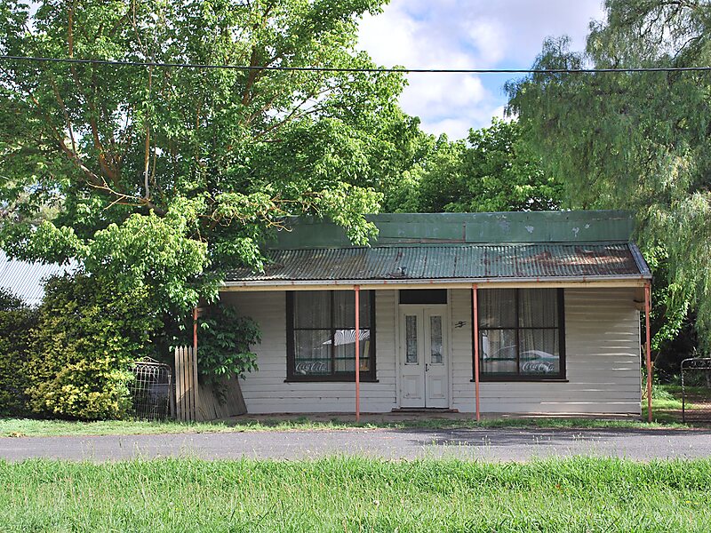
Darraweit Guim is a Victorian town, situated on Deep Creek, on the edge of the Shire of Macedon Ranges near the shire's boundary with the Shire of Mitchell. In 1992 the town had an approximate population of 300 with approximately 120 homes and a local school overseeing 51 students. Next to the school are the three local tennis courts which are regularly used. Up the hill is the Town Hall, Churches and CFA which protects the area. Platypus can be spotted in the local creek, and wombats also have burrows in the river banks.
Download Download See moreWikipedia https://en.wikipedia.org/wiki/Darraweit_Guim,_Victoria
Coordinates -37°24'6.753" N 144°53'38.291" E