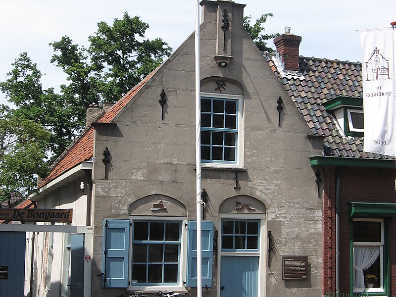
De Lier is a village in the Dutch province of South Holland. It is a part of the municipality of Westland, and lies about 5 km north of Maassluis. It also lies about 6 feet below sea level.
The village of De Lier obtained its name from the name of an old river called De Lee.
De Lier used to be a separate municipality. On 26 March 1963 it was granted their coat of arms and on 14 April 1965, it adopted their modern-day flag. On 1 January 2004, it merged with Naaldwijk, 's-Gravenzande, Monster, and Wateringen to form the municipality of Westland. The former municipality covered an area of 8.93 square kilometres.
Wikipedia https://en.wikipedia.org/wiki/De_Lier
Official Website http://www.gemeentewestland.nl/
Coordinates 51°58'30.663" N 4°14'49.676" E