Desert Tatacoa
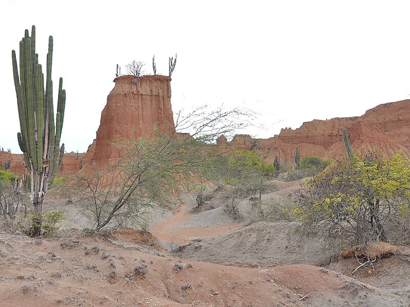
The Tatacoa Desert is the second largest arid zone in Colombia after the Guajira Peninsula. It occupies more than 330 square kilometers.
hidden gemdesert

Riverside Hotel

Desert Tatacoa
2h

Corner Café
45 min
Riverside Hotel
Add Desert Tatacoa to Your Trip
Create a detailed travel itinerary with smart routing, time estimates, and everything you need for a perfect trip.
3M+ downloads · 4.6 stars · 15 years of trip planning


More Information and Contact
Official Website www.tatacoacolombia.com
Wikipedia en.wikipedia.org/wiki/Tatacoa_Desert
Address Desierto De La Tatacoa, Colombia
Coordinates 3°14'0.046" N, 75°10'8.593" W
Riverside Hotel
Desert Tatacoa
2h
Corner Café
45 min
Riverside Hotel
Add Desert Tatacoa to Your Trip
Create a detailed travel itinerary with smart routing, time estimates, and everything you need for a perfect trip.
3M+ downloads · 4.6 stars · 15 years of trip planning