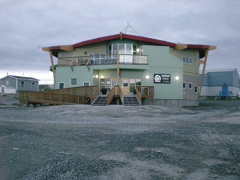
Dettah, sometimes, incorrectly, as Detah, is a First Nations community in the North Slave Region of the Northwest Territories, Canada. Located just southeast of the capital of Yellowknife, it is a 6.5 km drive from that city by ice road across the north arm of Great Slave Lake in winter or a 27 km drive via the Ingraham Trail, year-round. The name means 'Burnt Point' in the Dogrib language and refers to a traditional fishing camp used by the Dene for hundreds of years.
Download Download See moreWikipedia https://en.wikipedia.org/wiki/Dettah
Coordinates 62°24'41.616" N -114°18'25.261" E