Dreiherrnspitze
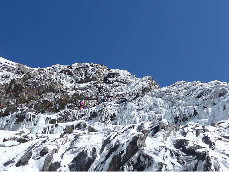
The Dreiherrnspitze, at 3,499 m above mean sea level, is a mountain on the tripoint between the Austrian states of Salzburg and Tyrol, and… Read more…


Add Dreiherrnspitze to Your Trip
Create a detailed travel itinerary with smart routing, time estimates, and everything you need for a perfect trip.


The Dreiherrnspitze, at 3,499 m above mean sea level, is a mountain on the tripoint between the Austrian states of Salzburg and Tyrol, and South Tyrol in Italy. It is part of the Venediger Group in the Hohe Tauern range of the Central Eastern Alps and the Alpine divide.
The name is derived from the fact, that upon the 1271 partition within the Tyrolean Meinhardiner dynasty, the territories of the Counts of Tyrol and the East Tyrolean estates of the Counts of Görz bordered on the lands of the Archbishops of Salzburg at the peak.
The summit is characterised by its steep rock faces to the northeast, surrounded by numerous glaciers. A first ascent was documented in 1866.
Source: Wikipedia
More Information and Contact
Add Dreiherrnspitze to Your Trip
Create a detailed travel itinerary with smart routing, time estimates, and everything you need for a perfect trip.