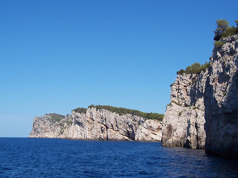
Dugi Otok is the seventh largest island in the Adriatic Sea, part of Croatia. It is located off the Dalmatian coast, west of Zadar. It is the largest and westernmost of the Zadarian Islands, and derives its name from its distinctive shape: it is 44.5 km long by 4.8 km wide, with an area of 114 square kilometres. Its elevation reaches 300 m; and many of its higher portions contain stands of Maritime Pine.
The western coast is tall and rugged, and many of the towns are clustered on the eastern side, including Sali, the largest, Zaglav, Žman, Luka, Savar, Brbinj, Dragove, Božava, Soline, Verunić and Veli Rat. A nature park, Telašćica, covers the southern part of the island and is adjacent to Kornati Islands National Park. There are six islets and rocks in the Telašćica Bay: Korotan, Galijola, Gozdenjak, Farfarikulac, Gornji Školj and Donji Školj.
Wikipedia https://en.wikipedia.org/wiki/Dugi_Otok
Coordinates 44°0'39.864" N 15°2'41.228" E