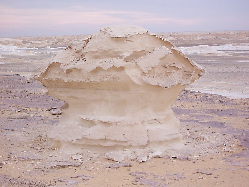
The Farafra depression is a 980 km2 geological depression, the second biggest by size in Western Egypt and the smallest by population, near latitude 27.06° north and longitude 27.97° east. It is in the large Western Desert of Egypt, approximately midway between Dakhla and Bahariya oases.
Farafra has an estimated 5,000 inhabitants mainly living in the town of Farafra and is mostly inhabited by the local Bedouins. Parts of the town have complete quarters of traditional architecture, simple, smooth, unadorned, all in mud colour — local culture and traditional methods of building and carrying out repairs have been supported by its tourism. Often grouped within Farafra are the hot springs at Bir Sitta and the El-Mufid lake.

Wikipedia https://en.wikipedia.org/wiki/Farafra,_Egypt
Coordinates 27°3'51.024" N 27°58'6.214" E