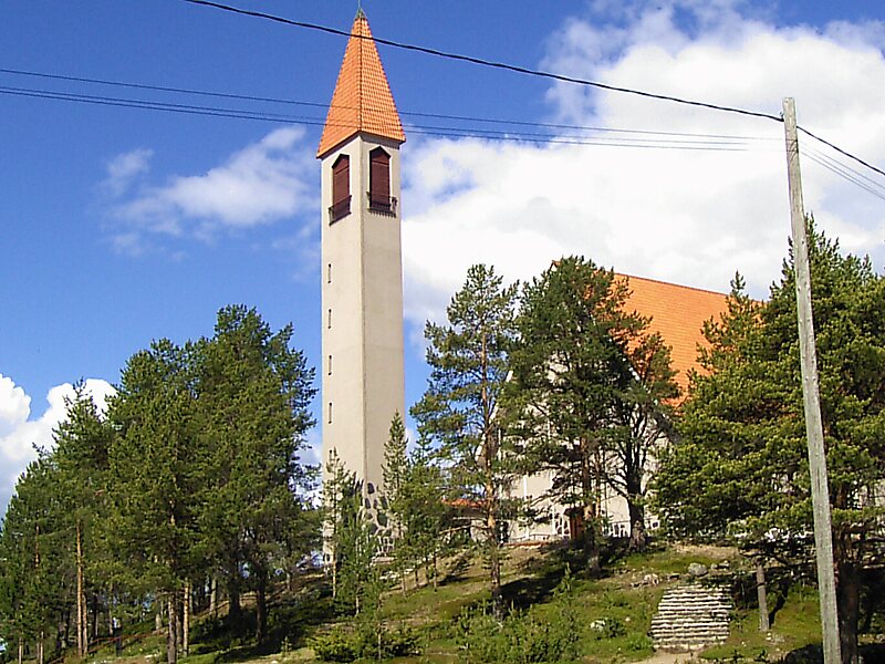
Enontekiö is a municipality in the Finnish part of Lapland with approximately 1,800 inhabitants. It is situated in the outermost northwest of the country and occupies a large and very sparsely populated area of about 8,400 square kilometres between the Swedish and Norwegian border. Finland's highest point, the Halti fell, with a height of 1,324 metres above the mean sea level, is situated in the north of Enontekiö. The municipality shares borders with regions of Sweden and Norway that encompass the Scandinavian Mountains. The administrative centre of Enontekiö is the village of Hetta. About one fifth of the community's population are Sami people. Enontekiö's main industries are tourism and reindeer husbandry.
Download Download See moreWikipedia https://en.wikipedia.org/wiki/Enontekiö
Official Website https://enontekio.fi/
Coordinates 68°23'6.787" N 23°38'37.991" E