Fährinsel is a small Baltic Sea island off the eastern shore of the island of Hiddensee and which belongs to the Insel Hiddensee municipality. It is separated from Hiddensee by the narrow Bäk, only 120 metres wide in places. It forms the western part of the border between the Schaproder Bodden and the Vitter Bodden. The island is 1.23 km long and up to 580 metres wide. It has an area of ca. 37 ha. Ferry services between Rügen and Hiddensee used to run via Fährinsel. It was closed in 1952 when the port at Schaprode was upgraded to handle mailboat services. Fährinsel is a nature reserve and out-of-bounds to visitors. It is a roosting place for thousands of birds and the grazing area for a herd of Gotland sheep.
Download Download See more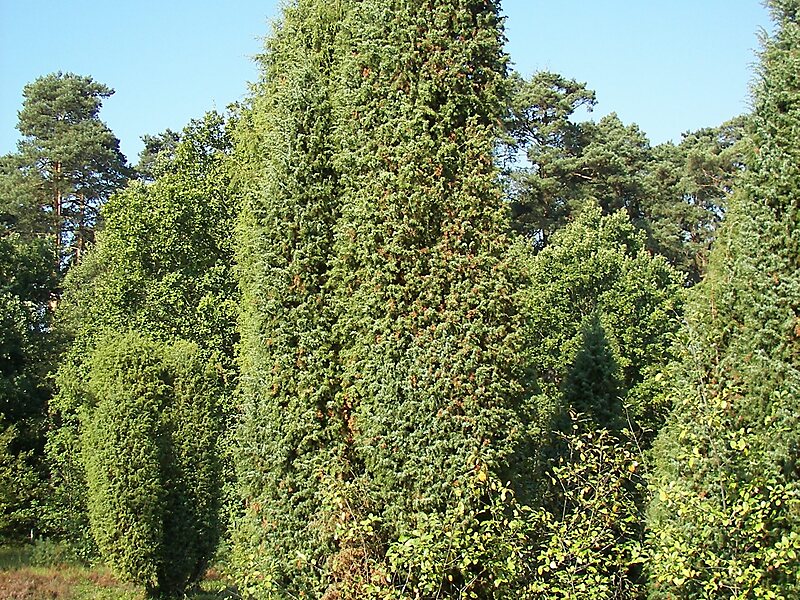
Wikipedia https://en.wikipedia.org/wiki/Fährinsel
Coordinates 54°32'41.841" N 13°7'13.631" E
