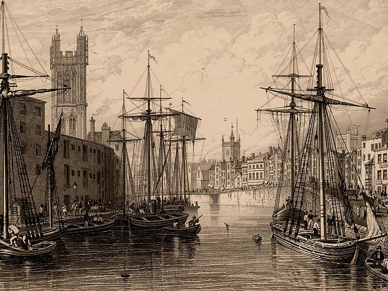
Bristol Harbour is the harbour in the city of Bristol, England. The harbour covers an area of 70 acres. It is the former natural tidal river Avon through the city but was made into its current form in 1809 when the tide was prevented from going out permanently. A tidal by-pass was dug for 2 miles through the fields of Bedminster for the river, known as the "River Avon New Cut", "New Cut", or simply "The Cut". It is often called the Floating Harbour as the water level remains constant and it is not affected by the state of the tide on the river in the Avon Gorge, The New Cut or the natural river southeast of Temple Meads to its source.
Netham Lock at the east end of the 1809 Feeder Canal is the upstream limit of the floating harbour. Beyond the lock is a junction: on one arm the navigable River Avon continues upstream to Bath, and on the other arm is the tidal natural River Avon.

Wikipedia https://en.wikipedia.org/wiki/Bristol_Harbour
Address (Unnamed Road), Bristol BS1 5, United Kingdom
Coordinates 51°26'58.745" N -2°36'2.134" E