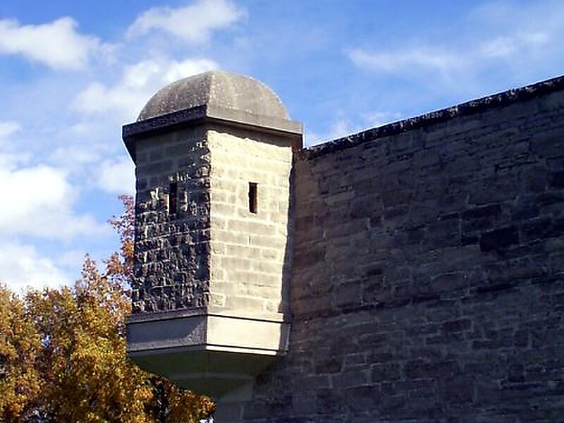
Fort de Chartres was a French fortification first built in 1720 on the east bank of the Mississippi River in present-day Illinois. It was used as an administrative center for the province. Due generally to river floods, the fort was rebuilt twice, the last time in limestone in the 1750s in the era of French colonial control over Louisiana and the Illinois Country.
A partial reconstruction exists of this third and last fort. The site is now preserved as an Illinois state park and is four miles west of Prairie du Rocher in Randolph County, Illinois. It is south of St. Louis, Missouri in the floodplain area that became known as the American Bottom.
Wikipedia https://en.wikipedia.org/wiki/Fort_de_Chartres
Official Website http://www.ftdechartres.com
Email ftdchart@htc.net
Phone +1 618 2847230
Address 1486-1528 Stringtown Rd, Prairie du Rocher, IL 62277, USA
Coordinates 38°5'5.191" N -90°9'30.415" E