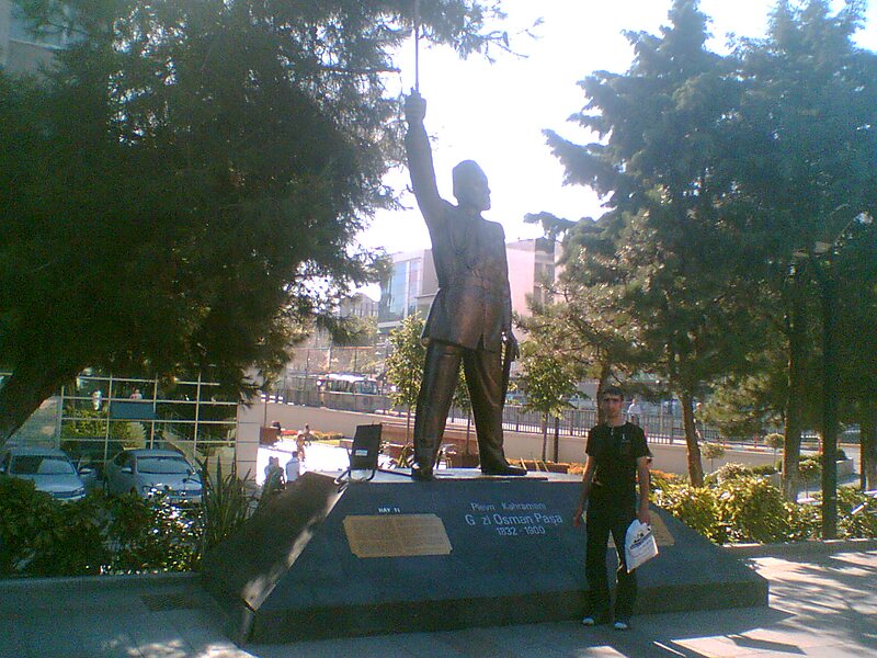
Gaziosmanpaşa is a developing working class municipality and district of Istanbul, Turkey, on its European side. With a population of 400,000 plus, it is one of the most populous districts. In 2009 Gaziosmanpaşa district was divided into three neighborhoods: Gaziosmanpaşa, the central; Sultangazi, the northern part; and Arnavutköy, the northernmost part. Esenler and Bayrampaşa are at west, Sultangazi is at north and Eyüp is at south and east of district. It was formed from parts of Eyüp and Çatalca districts in 1963.
Download Download See moreWikipedia https://en.wikipedia.org/wiki/Gaziosmanpaşa
Coordinates 41°3'28.1" N 28°54'44.247" E