Givors canal
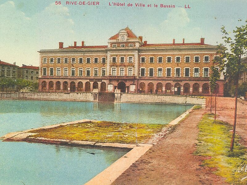
The Givors canal was built between 1761 and 1781 to carry coal, other goods and passengers from Rive-de-Gier to Givors on the Rhône,… Read more…


Add Givors canal to Your Trip
Create a detailed travel itinerary with smart routing, time estimates, and everything you need for a perfect trip.


The Givors canal was built between 1761 and 1781 to carry coal, other goods and passengers from Rive-de-Gier to Givors on the Rhône, running beside the river Gier.
The canal was approved in 1760 and after many problems opened in 1780. The canal was originally 15 kilometres long.
Goods were loaded on flat barges that could carry several tons. It took about 18 hours for two or three men to pull a barge through the canal.
Source: Wikipedia
More Information and Contact
Add Givors canal to Your Trip
Create a detailed travel itinerary with smart routing, time estimates, and everything you need for a perfect trip.