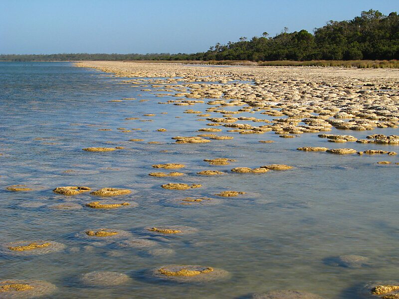
Hamelin Bay is a bay and a locality on the southwest coast of Western Australia between Cape Leeuwin and Cape Naturaliste. It is named after French explorer Jacques Félix Emmanuel Hamelin, who sailed through the area in about 1801. It is south of Cape Freycinet.
To the north, the beach leads to the Boranup Sand Patch and further to the mouth of the Margaret River, while south leads to Cape Leeuwin. The nearest locality to the east is Karridale on the Margaret River to Augusta road.
It was also a small settlement and port in Western Australia on the coast of the Leeuwin-Naturaliste Ridge.

Wikipedia https://en.wikipedia.org/wiki/Hamelin_Bay,_Western_Australia
Address Hamelin Bay Road W, 6288, Australia
Coordinates -34°13'14.293" N 115°1'41.696" E