Hawksbill Mountain
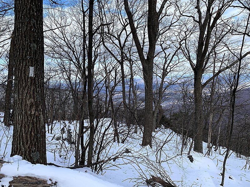
Hawksbill Mountain is a mountain with an elevation of 4,050 feet. Marking the border between Madison County and Page County in Virginia, the… Read more…


Add Hawksbill Mountain to Your Trip
Create a detailed travel itinerary with smart routing, time estimates, and everything you need for a perfect trip.


Hawksbill Mountain is a mountain with an elevation of 4,050 feet. Marking the border between Madison County and Page County in Virginia, the summit of Hawksbill Mountain is the highest point in Shenandoah National Park, as well as the highest point in both Madison and Page counties.
The north face of Hawksbill Peak is a 2,500-foot drop into Timber Hollow, which is the largest elevation change in the park. The summit is one of the few places in Shenandoah National Park where one can find balsam fir, a tree more typical of northern New England and southeast Canada.
Source: Wikipedia
More Information and Contact
Add Hawksbill Mountain to Your Trip
Create a detailed travel itinerary with smart routing, time estimates, and everything you need for a perfect trip.