Heidbrink
The Heidbrink is a hill which lies south of Lübbecke in central Germany and, at 319.6 m above sea level, is the highest peak in the Wiehen… Read more…


Add Heidbrink to Your Trip
Create a detailed travel itinerary with smart routing, time estimates, and everything you need for a perfect trip.


The Heidbrink is a hill which lies south of Lübbecke in central Germany and, at 319.6 m above sea level, is the highest peak in the Wiehen Hills. It is also the highest elevation in the district of Minden-Lübbecke in the German state of North Rhine-Westphalia. Its height is commonly given as 320 metres.
About 200 yards east of the summit is a transmission tower for television and radio links and a wayside hut for walkers. The mast has a paved access road from the B 239.
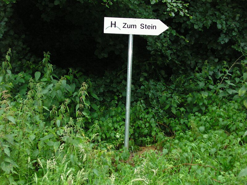
The summit of the Heidbrink itself is in a small open area and, until 2008, was marked by a boulder. Due to the surrounding high trees the view is blocked to the north; to the south can parts of the Ravensberg Basin be seen.
Source: Wikipedia
More Information and Contact
Add Heidbrink to Your Trip
Create a detailed travel itinerary with smart routing, time estimates, and everything you need for a perfect trip.