The Border checkpoint Helmstedt–Marienborn, named Grenzübergangsstelle Marienborn by the German Democratic Republic, was the largest and most important border crossing on the Inner German border during the division of Germany. Due to its geographical location, allowing for the shortest land route between West Germany and West Berlin, most transit traffic to and from West Berlin used the Helmstedt-Marienborn crossing. Most travel routes from West Germany to East Germany and Poland also used this crossing. The border crossing existed from 1945 to 1990 and was situated near the East German village of Marienborn at the edge of the Lappwald. The crossing interrupted the Bundesautobahn 2 between the junctions Helmstedt-Ost and Ostingersleben.
Download Download See more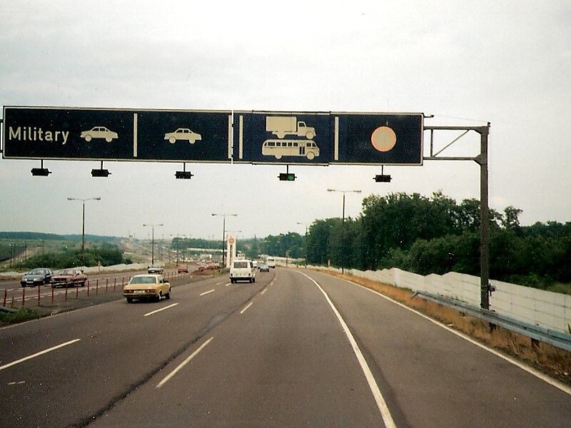
Wikipedia https://en.wikipedia.org/wiki/Helmstedt–Marienborn_border_crossing
Official Website https://gedenkstaette-marienborn.sachsen-anhalt.de/startseite/
Address 39343, Germany
Coordinates 52°12'50.872" N 11°5'4.372" E
