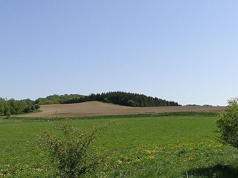
The Helpt Hills are the highest natural elevation in the northeast German state of Mecklenburg-Vorpommern reaching a maximum height of 179.2 metres above sea level. The hills are a terminal moraine formed during the Pomeranian stadium of the Weichselian glaciation and were named after the village of Helpt on their northern slopes.
The ridge, which is part of a relatively short hill chain running from southwest to northeast, is located in the east of the aforementioned German state in the district of Mecklenburgische Seenplatte about 24 kilometres-east of Neubrandenburg, 3 kilometres north of Woldegk and 25 kilometres west of Strasburg.
Wikipedia https://en.wikipedia.org/wiki/Helpt_Hills
Address 17348, Germany
Coordinates 53°29'11.882" N 13°36'33.3" E