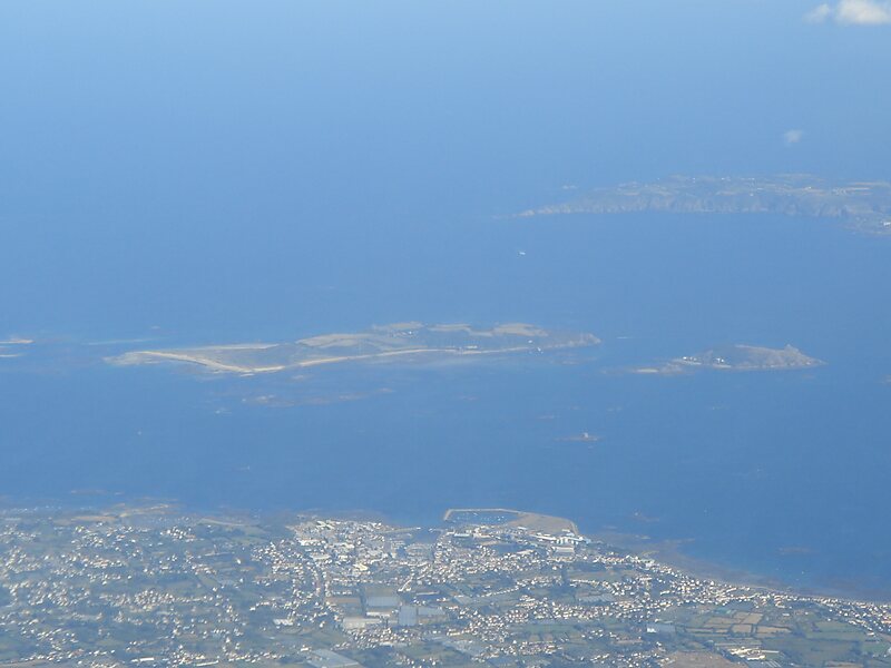
Herm is one of the Channel Islands and part of the Parish of St Peter Port in the Bailiwick of Guernsey. It is located in the English Channel, north-west of France and south of England. It is 2.183 km long and under 873 metres wide; oriented north–south, with several stretches of sand along its northern coast. The much larger island of Guernsey lies to the west, Jersey lies to the south-east, and the smaller island of Jethou is just off the south-west coast.
Herm was first discovered in the Mesolithic period, and the first settlers arrived in the Neolithic and Bronze Ages. Many tombs from that period remain today, the majority in the north of the island. The island was annexed to the Duchy of Normandy in 933, but returned to the English Crown with the division of Normandy in 1204.
Wikipedia https://en.wikipedia.org/wiki/Herm
Coordinates 49°28'20.952" N -2°26'58.177" E