High Fens
The High Fens, which were declared a nature reserve in 1957, are an upland area, a plateau region in Liège Province, in the east of Belgium… Read more…


Add High Fens to Your Trip
Create a detailed travel itinerary with smart routing, time estimates, and everything you need for a perfect trip.


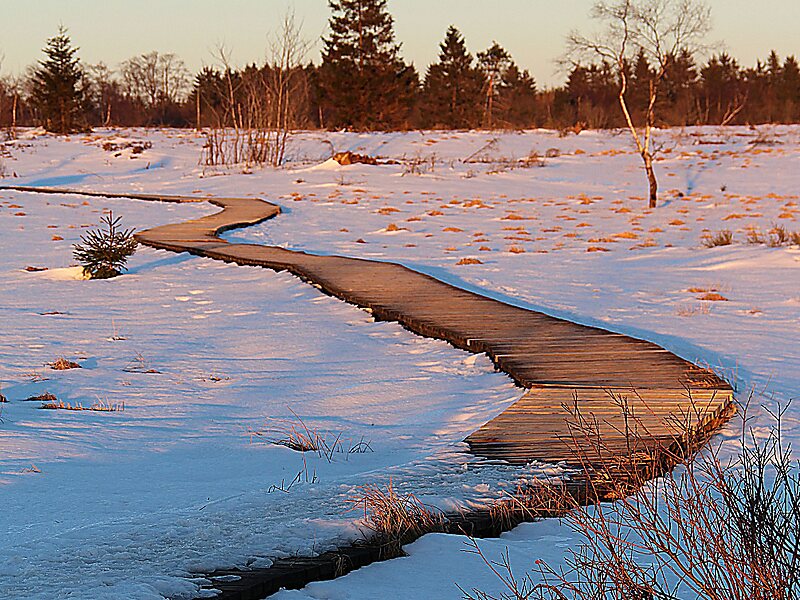
The High Fens, which were declared a nature reserve in 1957, are an upland area, a plateau region in Liège Province, in the east of Belgium and adjoining parts of Germany, between the Ardennes and the Eifel highlands. The High Fens are the largest nature reserve or park in Belgium, with an area of 4,501.2 ha; it lies within the German-Belgian natural park Hohes Venn-Eifel, in the Ardennes. Its highest point, at 694 metres above sea level, is the Signal de Botrange near Eupen, and also the highest point in Belgium. A tower 6 metres high was built here that reaches 700 metres above sea level. The reserve is a rich ecological endowment of Belgium covered with alpine sphagnum raised bogs both on the plateau and in the valley basin; the bogs, which are over 10,000 years old, with their unique subalpine flora, fauna and microclimate, are key to the conservation work of the park.
Source: Wikipedia
More Information and Contact
Add High Fens to Your Trip
Create a detailed travel itinerary with smart routing, time estimates, and everything you need for a perfect trip.