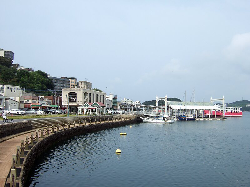
Hirado Island is the 4th largest island in Nagasaki Prefecture. Its coasts are washed by Sea of Japan. The entire island and the part of the nearby Kyushu mainland is administered as part of Hirado city. The island's highest peak is Mount Yasumandake 535 m. Saikai National Park comprise 24% of the island's total area.
Download Download See moreWikipedia https://en.wikipedia.org/wiki/Hirado_Island
Coordinates 33°17'4.358" N 129°27'53.511" E