Hjálparfoss
Hjálparfoss is one of several waterfalls in the south of Iceland situated in the lava fields north of the stratovolcano Hekla near the… Read more…


Add Hjálparfoss to Your Trip
Create a detailed travel itinerary with smart routing, time estimates, and everything you need for a perfect trip.


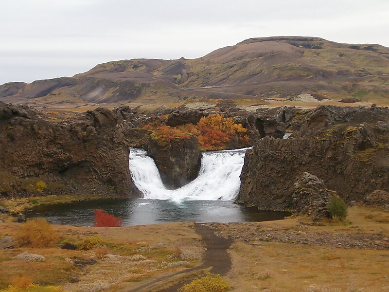
Hjálparfoss is one of several waterfalls in the south of Iceland situated in the lava fields north of the stratovolcano Hekla near the point where the rivers Fossá and Þjórsá join. Hjálparfoss is located about 30 kilometres east of the village Flúðir and can be reached by a gravel road off Route 32 that winds through the Vikrar lava fields. About 5 kilometres south of Hjálparfoss lies Þjófafoss; further east are Háifoss on the Fossá and Tangafoss on the Þjórsá.
Just downstream from Hjálparfoss is Iceland's second-largest hydroelectric power station, Búrfellsstöð.
Source: Wikipedia
More Information and Contact
Add Hjálparfoss to Your Trip
Create a detailed travel itinerary with smart routing, time estimates, and everything you need for a perfect trip.