Hohenstaufen
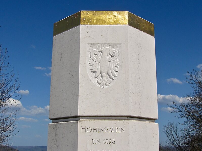
The Hohenstaufen is a mountain in the Swabian Jura with an elevation of 684 metres Together with the Rechberg and Stuifen, Staufer Frius,… Read more…


Add Hohenstaufen to Your Trip
Create a detailed travel itinerary with smart routing, time estimates, and everything you need for a perfect trip.


The Hohenstaufen is a mountain in the Swabian Jura with an elevation of 684 metres Together with the Rechberg and Stuifen, Staufer Frius, it forms the so-called "Three Kaiser mountains". It is easily visible from the little town of Lorch; it towers over the forests of that previously occupied the Staufer the Hohenstaufen Castle – the seat of the former House of Hohenstaufen – is now in ruin.
There are many footpaths on the mountain that are easily accessible from three entrances. The summit is surrounded by beech trees which tower above the footpaths. At the peak of the mountain is a bar which serves German beer and other snacks, however, the bar is being reconstructed into a glass like conservatory.
Source: Wikipedia
More Information and Contact
Add Hohenstaufen to Your Trip
Create a detailed travel itinerary with smart routing, time estimates, and everything you need for a perfect trip.