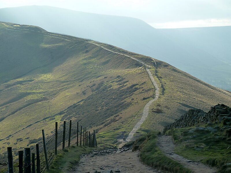
Hollins Cross
Hollins Cross lies between Mam Tor and Lose Hill on the Great Ridge that separates Castleton and Edale in Derbyshire, England.
peak

Riverside Hotel

Hollins Cross
2h

Corner Café
45 min
Riverside Hotel
Add Hollins Cross to Your Trip
Create a detailed travel itinerary with smart routing, time estimates, and everything you need for a perfect trip.
3M+ downloads · 4.6 stars · 15 years of trip planning


More Information and Contact
Wikipedia en.wikipedia.org/wiki/Hollins_Cross
Address S33 7, United Kingdom
Coordinates 53°21'26.542" N, 1°47'50.248" W
Riverside Hotel
Hollins Cross
2h
Corner Café
45 min
Riverside Hotel
Add Hollins Cross to Your Trip
Create a detailed travel itinerary with smart routing, time estimates, and everything you need for a perfect trip.
3M+ downloads · 4.6 stars · 15 years of trip planning