The Holly Springs National Forest was established by the United States Forest Service on June 15, 1936, during the tenure of United States Department of Agriculture Chief Forester Ferdinand A. Silcox. That same year, it was combined administratively with the Bienville, De Soto and Homochitto national forests, known collectively as "National Forests in Mississippi". The Holly Springs Ranger District controls 155,661 acres of Forest Service land, interspersed with 530,000 acres of privately owned properties, within the national forest's proclamation zone.
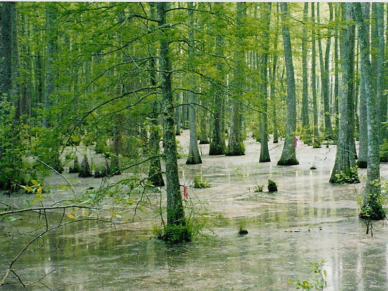
Before the HSNF was established, much of the land was abandoned agricultural land with rapidly eroding soils. These rolling hills are now covered with loblolly and shortleaf pines, and upland hardwoods. The Civilian Conservation Corps used loblolly pine because it was easy to plant, was suitable for the depleted soils of the north central hills, and cast a large load of needles to help prevent further erosion.
Wikipedia https://en.wikipedia.org/wiki/Holly_Springs_National_Forest
Address 38659, United States
Coordinates 34°32'56.213" N -89°19'2.643" E
