
Jones-Confluence Point State Park
Edward "Ted" and Pat Jones-Confluence Point State Park is a public recreation area located on the north side of the Missouri River at its… Read more…


Add Jones-Confluence Point State Park to Your Trip
Create a detailed travel itinerary with smart routing, time estimates, and everything you need for a perfect trip.




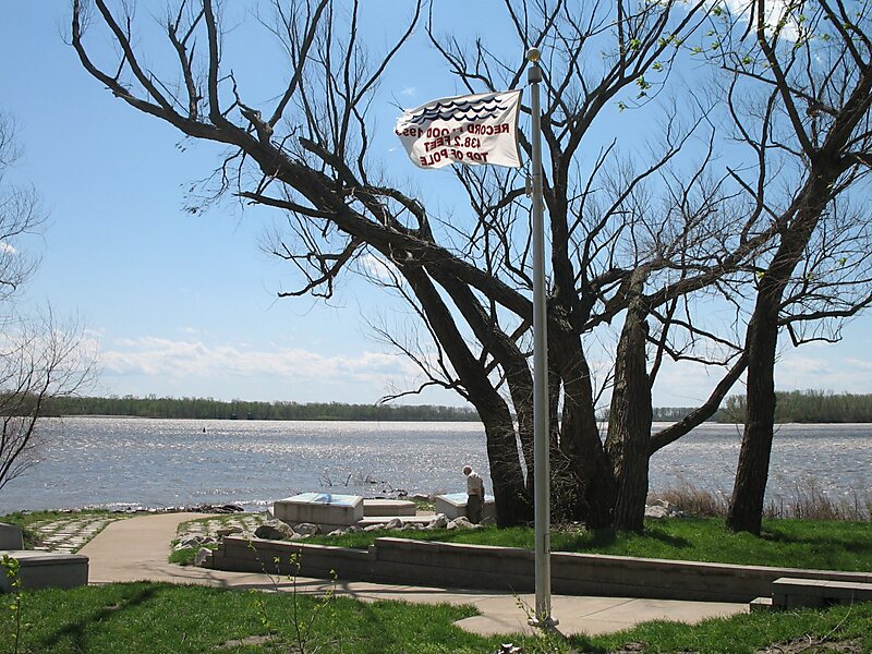
Edward "Ted" and Pat Jones-Confluence Point State Park is a public recreation area located on the north side of the Missouri River at its confluence with the Mississippi River in St. Charles County, Missouri. The state park encompasses 1,121 acres of shoreline and bottomland and is managed by the Missouri Department of Natural Resources, which "plans to restore a natural floodplain reminiscent of what Lewis and Clark might have seen along the lower Missouri River." The park is part of the Mississippi Greenway and sits opposite the Columbia Bottom Conservation Area on the south bank of the Missouri River. Park trails will eventually connect with the statewide Katy Trail.
Source: Wikipedia
More Information and Contact
Add Jones-Confluence Point State Park to Your Trip
Create a detailed travel itinerary with smart routing, time estimates, and everything you need for a perfect trip.