Kahlheid
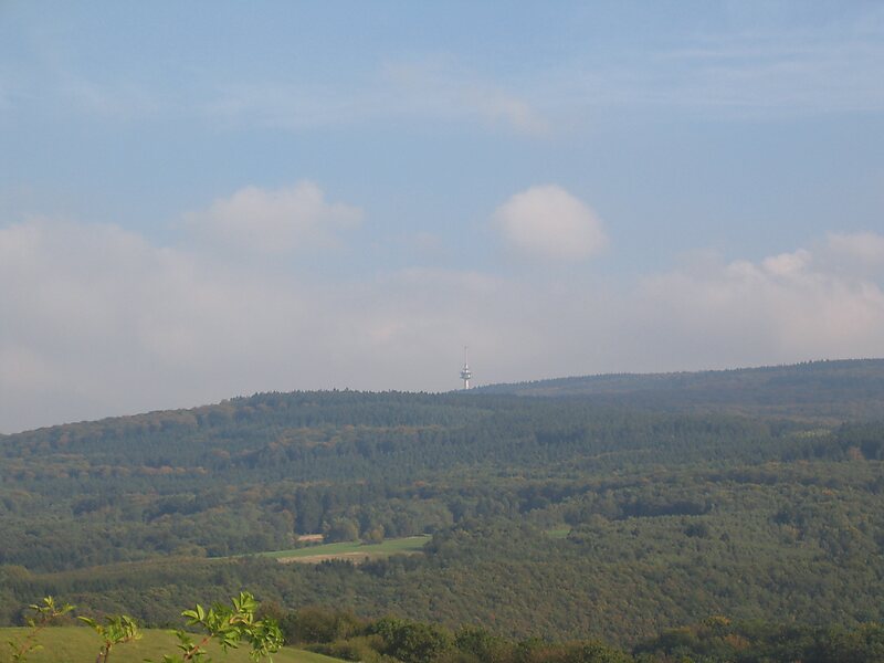
The Kahlheid near Morscheid-Riedenburg in the Idar Forest is a mountain, 766 m above sea level, on the boundary between the counties of … Read more…


Add Kahlheid to Your Trip
Create a detailed travel itinerary with smart routing, time estimates, and everything you need for a perfect trip.


The Kahlheid near Morscheid-Riedenburg in the Idar Forest is a mountain, 766 m above sea level, on the boundary between the counties of Birkenfeld and Bernkastel-Wittlich in the German state of Rhineland-Palatinate.
The mountain is the third highest in Rhineland-Palatinate after the Erbeskopf, 2.6 km to the southwest and its southwestern subpeak, the Springenkopf, in the Schwarzwälder Hochwald, and the peak of An den zwei Steinen, 12 km to the northeast, also in the Idar Forest.
Source: Wikipedia
More Information and Contact
Add Kahlheid to Your Trip
Create a detailed travel itinerary with smart routing, time estimates, and everything you need for a perfect trip.